App

Airmine Pollen – for people with pollen allergies

pollen map

Plan your days

Hyperlocal pollen forecasts and risk maps to help you make the most of outdoor life. Explore pollen profiles for races, parkruns, and hiking routes worldwide. Plan your days with confidence.

Premium: Extended 15-day forecasts, more pollen species, route profiles, and estimated season start dates.

Track your symptoms and gain insights into your personal allergy patterns.

satelite

State of the art

State-of-the-Art Pollen Intelligence: powered by satellite observations, environmental data, and machine learning, Airmine delivers next-generation pollen forecasts at local and regional scales.

With user consent, anonymous symptom reports help us continuously improve forecast accuracy.

Available across Europe, the United States, South Africa, Australia, Indonesia (Java & Bali), Brazil, Paraguay, Uruguay, and the Buenos Aires region.

running

Track your air

Track your air. Run smarter.

See pollen and air quality conditions for your Strava activities and gain insights into how the environment may influence your training and performance.

Connect Strava to the Airmine app in just a few steps!

Join the Airmine Strava Club for seasonal updates, route recommendations, community challenges, and pollen insights from around the world.


strava

pollen

Innovating pollen allergy relief

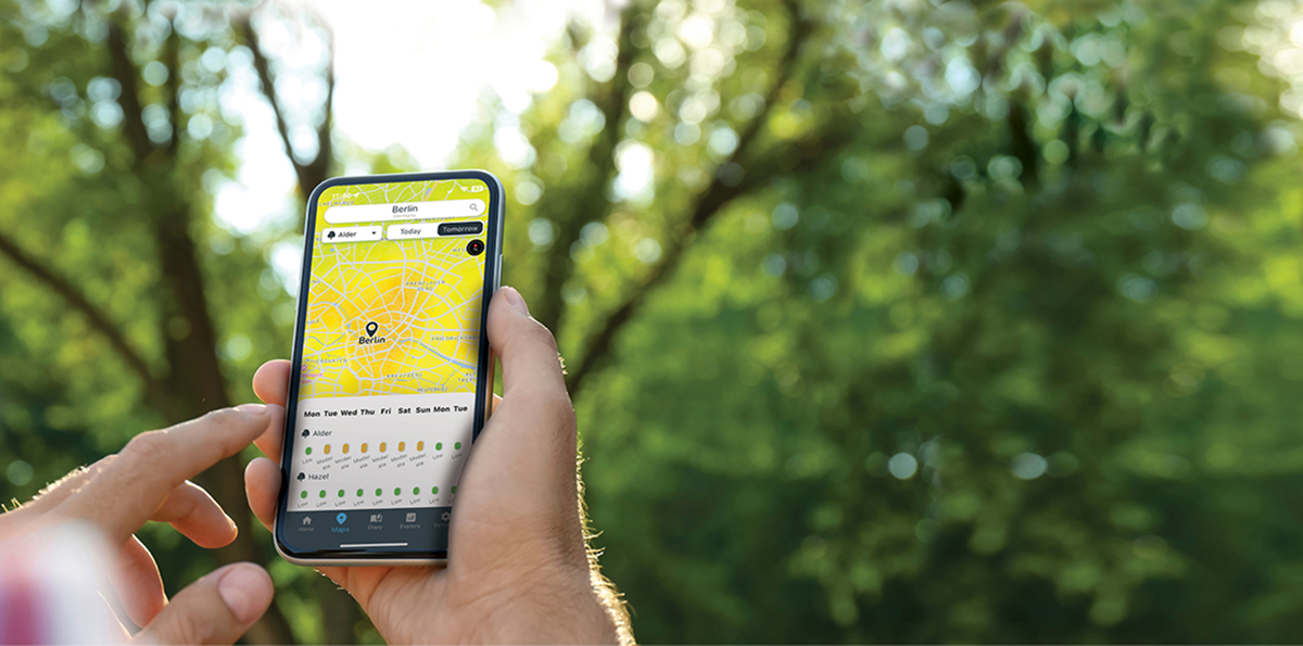
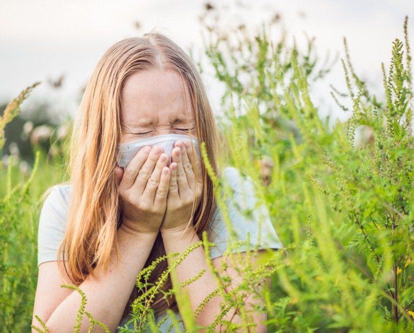
  • Predicting pollen. Empowering people.
  • Early warnings for the season ahead.
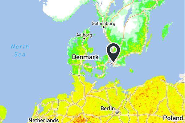
  • Hyperlocal forecasts where you live, work, and play.
  • Trusted insights across regions and borders.

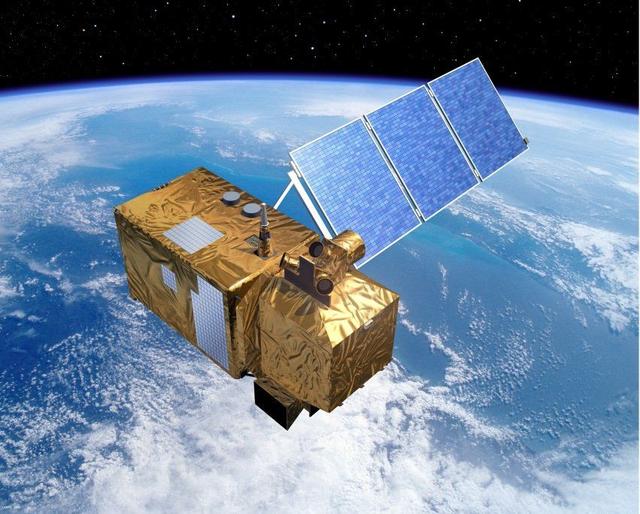
Powered by satellite data and advanced environmental models, Airmine delivers precise, daily updated forecasts that help people stay healthy, active, and prepared.

sustaiability

people
allergies
absence
satelite

Satellite data in pollen risk forecasting

Satellite data is at the core of our services. We use Sentinel-2 data for classification of vegetation – this forms the basis for our pollen risk forecasts.

Sentinel-2 is a key part of the European Commission’s Copernicus programme, implemented in partnership with The European Space Agency (ESA). Read more about how we use satellite data and how we model our pollen risk forecasts.

Photo of Sentinel-2 by ESA – P. Carril.

Our partners

vitusapotekviatrisApotek1 logoVG logoStrava logoLabrador CMS logoNorwegian Space AgencyEuropean Space Agency - logoLøpepodden